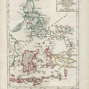
Isles Philippines et Moluques
1749
Indonesia, Philippines, Papua New Guinea, East Timor
From the second edition (1749) of ‘Atlas Portatif Universel et Militaire’ by the French cartographer Gilles Robert de Vaugondy (1688–1766), this map features the Philippines (in blue) and Maluku Islands (in red).


