Search

Search Results

Tabula Indiae Orientalis

eventc.1662-1706

location_onBrunei, Cambodia, Indonesia, Laos, Malaysia, Myanmar, Philippines, Singapore, Southeast Asia, Thailand, Vietnam, East Timor

The cartouche on this mid-17th century map of Asia by the Dutch cartographer Frederik de Wit (c. 1629–1706) is decorated with drawings of Asian men dressed in traditional costume and carrying bows.

Tabula Indiae Orientalis

event1662

location_onBrunei, Cambodia, Indonesia, East Timor, Laos, Malaysia, Myanmar, Vietnam, Thailand, Southeast Asia, Singapore, Philippines

The cartouche on this mid-17th century map of Asia by the Dutch cartographer Frederik de Wit (c. 1629–1706) is decorated with drawings of Asian men dressed in traditional costume and carrying bows.

Asiæ nova descriptio

event1660

location_onBrunei, Cambodia, East Timor, Indonesia, Laos, Malaysia, Myanmar, Singapore, Philippines, Southeast Asia, Thailand, Vietnam

This mid-17th century map of Asia is illustrated with drawings of Asian people wearing traditional clothing, including a man and woman from Java in Southeast Asia. There are also drawings and plans of important Asian cities.

Asiæ nova delineatio

eventc.1656-1677

location_onBrunei, Cambodia, East Timor, Indonesia, Laos, Malaysia, Myanmar, Philippines, Singapore, Southeast Asia, Thailand, Vietnam

This colourful mid-17th century map was originally published in the Dutch cartographer Nicolaes Visscher's ‘Atlas contractus’. The map is dedicated to D. Henry Spiegel, consul and senator of the city of Amsterdam, and features his coat of arms.

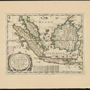
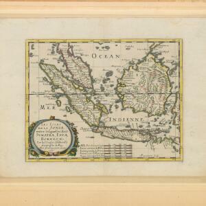
Les Isles de la Sonde: entre lesquelles sont Sumatra, Java, Borneo &c.

eventc.1652

location_onBrunei, Indonesia, Malaysia, Singapore

This mid-17th century map of the Sunda Isles (‘Isles de la Sonde’) includes the Malay Peninsula in addition to Sumatra, Java and Borneo. Mountain ranges and jungles are shown pictorially, and the islands and coasts feature shoals and reefs.

Les Isles de la Sonde: entre lesquelles sont Sumatra, Java, Borneo &c.

event1652

location_onBrunei, Indonesia, Malaysia, Singapore

This mid-17th century map of the Sunda Isles (‘Isles de la Sonde’) includes the Malay Peninsula in addition to Sumatra, Java and Borneo. Mountain ranges and jungles are shown pictorially, and the islands and coasts feature shoals and reefs.

Asia recens summa cura delineata

eventc.1646-1657

location_onBrunei, Cambodia, East Timor, Indonesia, Laos, Malaysia, Myanmar, Philippines, Singapore, Southeast Asia, Thailand, Vietnam

A map of Asia decorated with illustrations of sea monsters, strange creatures and ships. There is Latin text on the back of the map describing Asia.

India quae Orientalis dicitur, et insvlae adiacentes

eventc.1645-1658

location_onBrunei, Cambodia, East Timor, Indonesia, Laos, Malaysia, Myanmar, Philippines, Singapore, Southeast Asia, Thailand, Vietnam

German text on the reverse of this map describes the populations, crops, trade etc. of Sumatra, Borneo, Philippines, and Banda Islands. There are drawings of sailing ships, and the map is dedicated to the Dutch merchant Christophoro Thisio.

Mar di India

event1644

location_onBrunei, Cambodia, East Timor, Indonesia, Laos, Malaysia, Myanmar, Philippines, Singapore, Southeast Asia, Thailand, Vietnam

This mid-17th century map of Southeast Asia is from Isaac Commelin’s book describing the voyages of the Dutch East India Company ‘Begin ende voortgangh…’. There is an inset map of the island of Botton (Buton Island, southeast of Celebes (Sulawesi)).

close