Search

Search Results

Westkust Sumatra: Melaboe tot Singkel

event1898

location_onIndonesia

Navigation map of the northwest coast of Sumatra. Bathymetry (sea depth), anchor points, shoals and other obstructions (clay, coral, mud, stones, sand) are marked, with hills and settlements to use as landmarks.

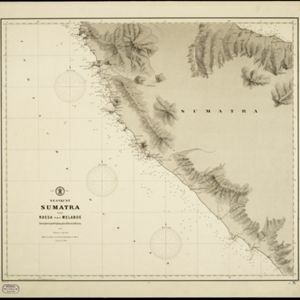
Westkust Sumatra van Roesa tot Melaboe

event1894

location_onIndonesia

Navigation map of the northwest coast of Sumatra. Bathymetry (sea depth), anchor points, shoals and other obstructions (clay, coral, mud, stones, sand) are marked, with hills and settlements to use as landmarks.

Schetskaart van de Reede van Analaboe en aangrenzende landstreek

event1877

location_onIndonesia

Hand-drawn map of the roadstead—a body of water sheltered from tides/currents, for ships to anchor—at Analaboe (Meulaboh) on the west coast of northern Sumatra. Bathymetry (sea depth), shoals and reefs, and an anchor point are marked.

close

  • Filter from 1877 to 1898

Current results range from 1877 to 1898