Search Results

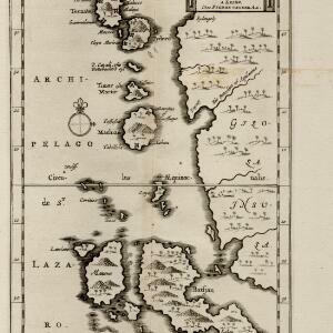
Les Îles Moluques, tres exactement representées selon les plus nouvelles Observations des meilleurs Geographes
c.1714-1729
Indonesia
A map of a small island chain off the west coast of the island of Gilola (modern Halmahera in the Maluku Islands of Indonesia). The military forts on the islands were used by the European colonial powers during conflicts over the area’s spice trade.


