Search

Search Results

Map of the Malay Peninsula

event1883

location_onMalaysia, Singapore

Kaart van het terrein des Oorlogs in Groot-Atjeh in 1876

event1883

location_onIndonesia

Eastern Naga Hills and Manipur with adjoining portions of Burmah

event1882

location_onMyanmar

A Map of South Eastern Asia from Peking to Singapore... with an enlarged plan of the environs of Hanoi, on the Red River

event1883

location_onBrunei, Cambodia, Indonesia, Laos, Malaysia, Myanmar, Singapore, Thailand, Vietnam

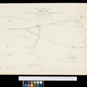
Sketch of works before Phu-sa, showing position of troops at 3 p.m. on the 14th Dec 1883, before the assault

event1883

location_onVietnam

Map of China, Tonquin and Cochin-China, with a chart extending from China to western Europe

event1883

location_onCambodia, Laos, Thailand, Vietnam

Topographische kaart van het eiland Billiton

event1882

location_onIndonesia

Midden-Sumatra: Reizen en onderzoekingen der Sumatra-expeditie... 1877-1879

event1882

location_onIndonesia

Plan topographique de l'arrondissement de Cholon

event1882

location_onVietnam

Itinéraire de Hanoi à That-khe par Lang-son (Frontière Chinoise du Kouang-Si)

event1881

location_onVietnam

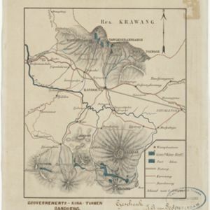
Gouvernements-kina-tuinen, Bandoeng, Java

event1881

location_onIndonesia

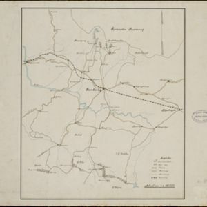
[Kina plantages rond Bandoeng]

event1881

location_onIndonesia

close