
Search


Refine your results
Location
- check_box_outline_blankDutch East Indies3
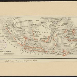
- check_box[remove]Java3
- check_box_outline_blankSumatra3
- check_box_outline_blankBorneo2
- check_box_outline_blankCelebes2
- check_box_outline_blankChineesche Zee2
- check_box_outline_blankEast Indies2
- check_box_outline_blankIndische Archipel2
- check_box_outline_blankMalay Peninsula2
- check_box_outline_blankMoluksche Eilanden2
- check_box_outline_blankOost Indien2
- check_box_outline_blankSchiereiland Malacca2
- more Detailed Location »


