Search Results

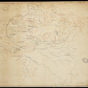
Kaart van het middengedeelte van Sumatra
1890
Indonesia
Details of each area’s resources are printed on this map of Sumatra: rattan, coffee, pepper, Chinese cinnamon, tobacco, resins, camphor, cotton, coal, gold, lumber, elephants, horses, as well as the locals’ ethnicity (Malays, Javanese, Acehnese).

Kaart van den Nederlandsch-Indischen Archipel
1890
Indonesia, East Timor, Brunei, Cambodia, Malaysia, Philippines, Singapore, Southeast Asia, Thailand, Vietnam
The seas of the Dutch East Indies are the focus of this map, with maritime routes, sea temperature, sea depth, currents and monsoons shown. There are graphs of population by ethnicity, agriculture and livestock, trade and shipping, and trade exports.

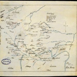
Schetskaart van het boven stroom gebied der Asahan rivier, aek Asahan en aek Bila
1890
Indonesia
Hand-drawn map of the upper basin of the Asahan River, just southeast of Lake Toba in northern Sumatra. Rivers such as the Hoewaloe and Bila are marked in blue, with roads in red, mountains shaded brown, and settlements named.

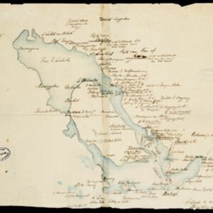
[Omgeving van het Toba meer, afdeelingen Bataklanden, onderafdeelingen Samosir, Toba en Hoogvlakte van Toba]
1890
Indonesia
Hand-drawn map of the southern part of Lake Toba in Sumatra, with roads, rivers and paths marked. Mountains, forest and rice fields are also shown, as are missionary buildings for indigenous and European people.

Kaart der Bataklanden en van het eiland Nijas
1890
Indonesia
A large-scale map of northern Sumatra, spread over 16 sheets, and divided into administrative regions. The island of Nijas (Nias) is marked with the locations of local tribes, and there is a list of other maps referenced in producing the map.

Kaart van de residentie Oostkust van Sumatra
1889
Indonesia
Detailed topographical map of the east coast of Sumatra, spread over 34 sheets. The area’s farms are listed and shown on the map, with types of crop grown. With five inset maps of individual towns. Two sheets and the cover sheet are missing.
- Filter from 1595 to 1900
- [remove]Sumatra248
- Dutch East Indies152
- Java128
- Borneo118
- Malay Peninsula105
- Sulawesi104
- Celebes103
- Siam71
- Western New Guinea63
- South China Sea56
- Maluku Islands52
- Pegu45
- more Detailed Location »


