Search Results

[Havenkanaal: Platte grond teekening]
1813
Indonesia
A hand-drawn plan of the wharf at the ‘Haven Kanaal [Harbour Canal]’ port in Batavia (Jakarta), showing warehouses and other buildings along the ‘Groote Rivier [Big River]’ canal. There are two profile drawings of parts of the wharf’s retaining wall.

Plan van de nieuw aangelegde bakkerij, gelegen beweste de zaagmool
1812
Indonesia
A plan of a bakery in an unknown location in the Dutch East Indies, next to a proposed water channel (‘rijool’) intended to power a saw mill. There are two additional sheets showing construction drawings of the water channel, with piling underneath.

Caart en waaterpas van het Moolenvliet beneffens de gooten welke aan de oost en westzijde, hun waater uyt het zelve ontfangen
1797
Indonesia
This map shows part of the Moolenvliet canal (now known as Batang Hari) that passes through the centre of Batavia (Jakarta). The Dutch colonial authorities originally dug the canal in the 17th century by diverting part of the Ciliwung river.

Algemeene kaart van de ontdekkingen van kapit. J. Cook gedaan op zyne drie togten met de koers van de schepen onder zyn bevel
1795
Brunei, Cambodia, East Timor, Indonesia, Laos, Malaysia, Myanmar, Papua New Guinea, Philippines, Singapore, Southeast Asia, Thailand, Vietnam
Map charting the three expeditions of the British Royal Navy captain James Cook, including HMS Endeavour’s journey via Batavia (Jakarta) in 1770, and HMS Resolution’s journey through the South China Sea (after Cook’s death) in 1779.

Kaart van een Gedeelte der Kust van Cochin-China, met de baai en haven van Turon, en het eiland Kal Lao
1793
Vietnam
A map to aid navigation around the Bay of Turon (location of modern city of Da Nang, Vietnam). Bathymetry (sea depth) is marked, as is the route of the Dutch ship ‘Jackaij’ on her departure from the bay. An elevation view of the land is shown below.

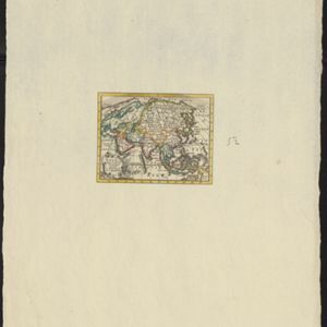
Asia volgens de nieuwste waarnemingen opgesteld
c.1790
Brunei, Cambodia, East Timor, Indonesia, Laos, Malaysia, Myanmar, Philippines, Singapore, Southeast Asia, Thailand, Vietnam
A simple hand-coloured map of Asia, with a cartouche of shell, leaves and plants. It shows that in the late 18th century, the details of New Guinea and Australia (‘Nieuw Holland’) were uncertain.
- Filter from 1595 to 1900
- Indonesia597
- Malaysia133
- Singapore115
- Brunei106
- Thailand105
- East Timor104
- Philippines89
- Vietnam86
- Cambodia84
- Myanmar67
- Laos65
- Southeast Asia63
- more Simple Location »
- Port112
- Pier59
- Railway Station49
- River471
- Road315
- Path180
- Railway/Tramway111
- Postal Route97
- Canal65
- Bridge62
- Telegraph/Telephone32


