
Search


Refine your results
- Filter from 1600 to 1898
Current results range from 1600 to 1898
Location
- check_box_outline_blankBrunei8
- check_box_outline_blankIndonesia8
- check_box_outline_blankMalaysia8
- check_box_outline_blankPhilippines8
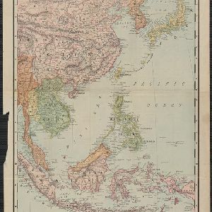
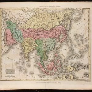
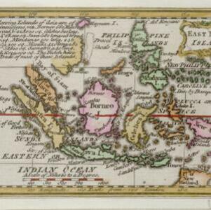
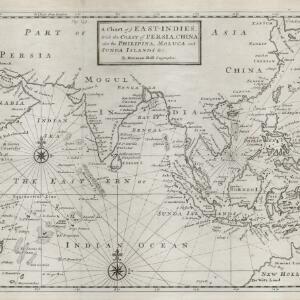
- check_box[remove]Singapore8
- check_box_outline_blankEast Timor7
- check_box_outline_blankCambodia6
- check_box_outline_blankLaos6
- check_box_outline_blankMyanmar6
- check_box_outline_blankSoutheast Asia6
- check_box_outline_blankThailand6
- check_box_outline_blankVietnam6
- more Simple Location »
- check_box_outline_blankBorneo8
- check_box[remove]Mindanao8
- check_box_outline_blankCelebes7
- check_box_outline_blankSulawesi7
- check_box_outline_blankSumatra7
- check_box_outline_blankJava6
- check_box_outline_blankMalay Peninsula5
- check_box_outline_blankSiam5
- check_box_outline_blankLuzon4
- check_box_outline_blankSunda Islands4
- check_box_outline_blankChina Sea3
- check_box_outline_blankCochinchina3
- more Detailed Location »
Land and Sea Routes
Cultural and Political Regions
Environmental Features
Insets and Attributes
Map Production Details
- check_box_outline_blankAprès de Mannevillette, Jean-Baptiste d'1
- check_box_outline_blankBowen, Emanuel1
- check_box_outline_blankBurchett, Josiah1
- check_box_outline_blankEvans, John1
- check_box_outline_blankGibson, John1
- check_box_outline_blankHondius, Hendrik1
- check_box_outline_blankMoll, Herman1
- check_box_outline_blankWyld, James1
- check_box_outline_blankChapman & Hall1
- check_box_outline_blankJ. Newbury1
- check_box_outline_blankJames Cundee Albion Press1
- check_box_outline_blankJohannes Loots1
- check_box_outline_blankJohannes van Keulen1
- check_box_outline_blankJohn Walthoe1
- check_box_outline_blankRand, McNally & Co.1
- check_box_outline_blankRobert Sayer1


