Search Results

W. & A.K. Johnston's sheet of maps to illustrate the Caroline islands dispute between Germany and Spain
1885
Southeast Asia, Papua New Guinea, Indonesia, Philippines, Malaysia, East Timor
Three maps of the Caroline Islands. One shows colonised areas in Southeast Asia: Dutch East Indies; British North Borneo, British New Guinea; German New Guinea; Philippines (Spain); Portuguese Timor. The route of the Challenger expedition is marked.

Part of the Malayan Archipelago
1846
Brunei, Indonesia, Malaysia, Philippines, Singapore
This map focuses on maritime Southeast Asia, with coastal settlements, rivers, bays, islands, straits and seas named. Shoals and reefs are marked. The only land feature is the mountains of Borneo, represented by short lines/dashes (called hachures).

A new chart of the Oriental Seas and Islands... from the Isle of Ceylon to Amoye in China
1790
Brunei, Cambodia, East Timor, Indonesia, Laos, Malaysia, Myanmar, Philippines, Singapore, Southeast Asia, Thailand, Vietnam
A late 18th century maritime map of Southeast Asia, marked with expedition routes including the return of Captain Cook’s HMS Endeavour from Australia in 1770, and Captain Philip Carteret’s circumnavigation expedition in 1768.

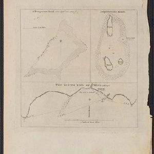
A dangerous shoal seen Septr. the 28, 1767 (Joseph Freewills Islands)
1773
Philippines, Indonesia
These three maps are marked with shoals, rocks, water depth, safe entry points, and anchorage locations, to help ships safely anchor. The sites include the Joseph Freewill Islands (Mapia Atoll, Indonesia) and the coast of Mindanao in the Philippines.

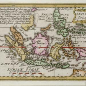
East India islands
1758
Brunei, East Timor, Indonesia, Malaysia, Philippines, Singapore
Text on this mid-18th century map notes the dimensions of the islands of maritime Southeast Asia, in length, breadth and square miles (e.g. ‘Java 580 long, 105 broad, & 38,250 sq.’). It also states that the Dutch are the main traders in the region.

Deese wassende pas-kaart van Oost-Indien, is nu te bekoomen voor die deselve begeeren
c.1728-1738
Brunei, Cambodia, East Timor, Indonesia, Laos, Malaysia, Myanmar, Papua New Guinea, Philippines, Singapore, Southeast Asia, Thailand, Vietnam
Map of the Indian Ocean dominated by a rhumbline network—a web of interconnected lines used to help plot routes—with a compass rose at the centre. At the top there are (incomplete) drawings of people with text in Dutch, French, English and Spanish.

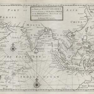
A chart of ye East-Indies with the coast of Persia, China also the Philipina, Moluca and Sunda Islands &c.
1720
Brunei, Cambodia, East Timor, Indonesia, Laos, Malaysia, Myanmar, Philippines, Singapore, Southeast Asia, Vietnam, Thailand
A map by the influential London cartographer, Herman Moll (1654?—1732), showing Southeast Asia in the context of the wider Asian region. Interestingly, the Strait of Malacca is labelled as the ‘Str. of Sincapora’ (Straits of Singapore).


