Search

Search Results

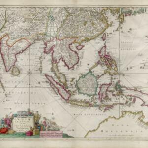
Carte des Indes Orientales

event1748

location_onBrunei, Cambodia, East Timor, Indonesia, Laos, Malaysia, Myanmar, Philippines, Singapore, Southeast Asia, Thailand, Vietnam

This mid-18th century map features a label noting that the Byayos people inhabited the mountains of central Borneo. Another note at the northeast tip of Borneo states that the location and number of islands in the area is uncertain.

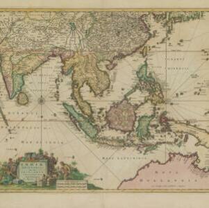
India orientalis, cum adjacentibus insulis

event1740

location_onBrunei, Cambodia, East Timor, Indonesia, Laos, Malaysia, Myanmar, Philippines, Singapore, Southeast Asia, Thailand, Vietnam

This mid-18th century map of Asia features a drawing of religious imagery: Asian people are seen making offerings to two figures, including the Greek god Poseidon (or the Roman god Neptune), and kneeling as cherubs descend from the sky.

Indiae orientalis, nec non insularum adiacentium

event1698

location_onMyanmar, Philippines, Singapore, Southeast Asia, Thailand, Vietnam, Malaysia, Laos, Indonesia, East Timor, Cambodia, Brunei

The cartouche on this map of Asia is decorated with a colourful painting illustrating the region’s commerce, with Asian merchants displaying an assortment of goods, including jewellery, porcelain vessels and figurines, textiles and exotic animals.

Indiæ Orientalis nec non Insularum Adiacentium Nova Descriptio

event1689

location_onBrunei, Cambodia, East Timor, Indonesia, Laos, Malaysia, Myanmar, Philippines, Singapore, Southeast Asia, Thailand, Vietnam

The cartouche on this map of Asia is decorated with a colourful depiction of a European man negotiating with an Asian merchant to buy an assortment of Asian goods, including jewellery, porcelain vessels and figurines, and textiles.

Indiæ Orientalis nec non Insularum Adiacentium Nova Descriptio

event1685

location_onBrunei, Cambodia, East Timor, Indonesia, Laos, Malaysia, Myanmar, Philippines, Singapore, Southeast Asia, Thailand, Vietnam

The cartouche on this map of Asia is decorated with a colourful painting illustrating the region’s commerce, with Asian merchants displaying an assortment of goods, including jewellery, porcelain vessels and figurines, textiles and exotic animals.

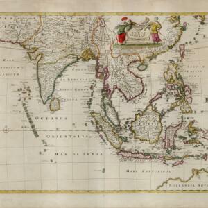
Tabula Indiae Orientalis

event1670

location_onBrunei, Cambodia, East Timor, Indonesia, Laos, Malaysia, Myanmar, Philippines, Singapore, Southeast Asia, Thailand, Vietnam

The cartouche on this mid-17th century map of Asia by the Dutch cartographer Frederik de Wit (c. 1629–1706) is decorated with drawings of Asian men dressed in traditional costume and carrying bows.

close

  • Filter from 1670 to 1748

Current results range from 1670 to 1748