Search

Search Results

Map to illustrate the operations about Sadon, Upper Burma

event1891

location_onMyanmar

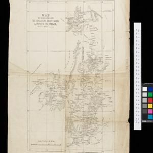
Map of northeast Burma (Myanmar) bordering China's Yunnan Province. The title refers to ‘operations’ around the town of Sadon, possibly part of the Burmese resistance movement against British colonial rule in the late 19th century.

Skeleton map of the Burma and Assam frontier

event1891

location_onMyanmar

Map of Upper Burma showing the border with Assam (India) and China. The names of indigenous peoples are shown (‘Singphos’), along with the Irrawaddy River, railways and resources (‘Teak Forests’, mines (silver, copper, sulphur, rubies, coal, jade)).

Map to illustrate Report on Frontier Expedition 1890-91

event1891

location_onMyanmar

Map of the border region between northeast Burma (Myanmar) and China's Yunnan Province, spread over two sheets. The Burma side is more detailed, featuring mountains, rivers and settlements, as well as roads and trade routes.

close