Search Results

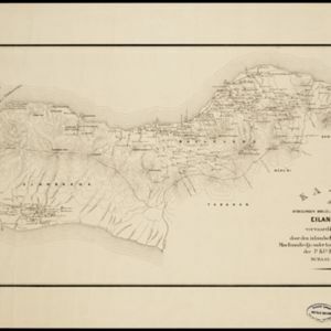
Kaart der afdeelingen Boelèlèng en Djambrana, eiland Bali, vervaardigd in 1885
1886
Indonesia
Contour lines show the terrain of these two districts at the western end of the island of Bali. Roads connecting the ‘desa’s [villages]’, Hindu temples and rivers are marked. Anchor points around the coast are marked for ships or for local vessels.


