Search Results

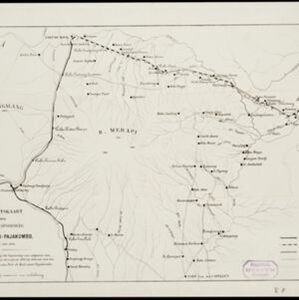
Overzichtskaart van den ontworpen spoorweg Fort de Kock-Pajakombo
1894
Indonesia
A map of railway lines between Fort de Kock (Bukittinggi) and Pajakombo (Payakumbuh) in western Sumatra. The map includes existing line, planned line and rack railway line (a line with a rack and pinion system so it can operate on steep slopes).

Topographische kaart van de residentie Preanger regentschappen
1894
Indonesia
The residency of Preanger (Parahyangan), West Java, with plantations (coconut, coffee, tea, cinchona (‘kina’), betel, teakwood, bamboo) and crops (rice, sugarcane, alang-alang). Two inset maps: a triangulation map, and a map of land route distances.


