Search Results
Filter
Detailed Location
Irrawaddy River
Remove constraint Detailed Location: Irrawaddy River
Printer/Publisher
Survey of India Offices, Calcutta
Remove constraint Printer/Publisher: Survey of India Offices, Calcutta
Collections
Bodleian Libraries, University of Oxford
Remove constraint Collections: Bodleian Libraries, University of Oxford
15 Results found

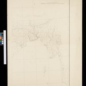
Skeleton map of the Burma and Assam frontier
1891
Myanmar
Map of Upper Burma showing the border with Assam (India) and China. The names of indigenous peoples are shown (‘Singphos’), along with the Irrawaddy River, railways and resources (‘Teak Forests’, mines (silver, copper, sulphur, rubies, coal, jade)).


