Search

Search Results

Caart eeniger ryken gelegen op het eyland Groot Java bestaande in het Koningryk Jaccatra de regentschappen Tjanjoer, Bandong, Timbanganten en Batoelejan als mede een gedeelte van Parrakkanmoentjang en Crawang

event1898

location_onIndonesia

A hand-drawn late 19th century map of western Java, divided into regencies. The map is orientated with south at the top so that Batavia, on the northern coast of Java, is at the bottom of the map.

Overzichtskaart van de bosschen en van de indeeling der Boschdistricten op Java en Madoera

event1898

location_onIndonesia

Different types of forest are shown on this late 18th century map of Java and Madura, with the land divided into 21 forest districts. Roads, railways and major settlements are also marked.

Spoor- en tramwegkaart van Java en Madoera

event1898

location_onIndonesia

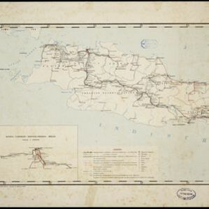
The railways and tramways of Java and Madoera (Madura) are shown over two sheets of this late 19th century map, including lines in use, under construction, and being planned. An inset map shows details of a line near Batavia (Jakarta).

Topographische kaart der residentie Semarang

event1898

location_onIndonesia

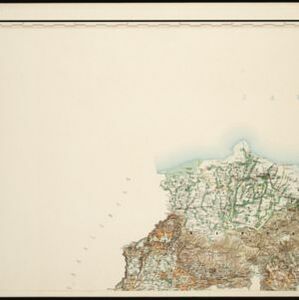
The residency of Semarang, Central Java, featuring crops (coffee, rice, bamboo, nipa palm); cemeteries, post offices, railway stations; routes (railway, postal, road, canal), administrative borders; mountains, rivers, forests.

Handelskaart van Java en Madoera

event1898

location_onIndonesia

Map of Java and Madura showing routes, especially for trading purposes, including railways, tramways, roads, ports for steamship services, harbours for different types of imports and exports. A list of train and tram routes is included.

close