Search Results
Nederlandsch Oost-Indië
1840
Brunei, East Timor, Indonesia, Malaysia, Papua New Guinea, Philippines, Singapore
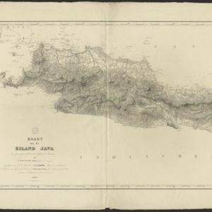
The Dutch East Indies are bordered in red on this mid-19th century map. A maritime postal route from China to Europe, via Singapore and Penang, is shown. Another maritime route, from Batavia to Singapore, is also marked.
- Indonesia27
- Brunei6
- East Timor6
- Malaysia6
- Philippines6
- Singapore6
- Thailand5
- Cambodia3
- Laos3
- Myanmar3
- Southeast Asia3
- Vietnam3
- more Simple Location »
- Java Sea27
- [remove]Java Zee27
- Java23
- Dutch East Indies21
- Sumatra10
- Borneo9
- Celebes6
- Celebes Sea6
- Malay Peninsula6
- South China Sea6
- Sulawesi6
- Sunda Strait6
- more Detailed Location »
- [remove]District/Administrative Border27
- Colonial Possessions5
- Civic/Metropolitan Border4
- National Border2
- Cronenberg, F.5
- Versteeg, W.F.4
- Wolff4
- Degenhardt, W.2
- Veelwaard, Daniël2
- Böhm1
- Dornseiffen, Dr. I.1
- Geest, Evert de1
- more Map Maker »
- Van Haren Noman & Kolff5
- A.J. Bogaerts3
- Seyffardt's Boekhandel3
- C.L. Brinkman2
- D. Heyse2
- Emrik & Binger2
- Frans Buffa en Zonen2
- Gewestelijke Vereeniging Noord Holland van het Nederlandsch Onderwijzers-Genootschap2
- more Printer/Publisher »