Search

Search Results

Noordkust Java: Westervaarwater van Soerabaja

event1898

location_onIndonesia

This map of the Madura Strait between Java and Madura is designed to aid navigation: bathymetry (water depth), lighthouses, shoals and reefs, rocks and mud, anchor points, and landmark mountains are all marked. Text describes the tidal conditions.

Overzichtskaart van de bosschen en van de indeeling der Boschdistricten op Java en Madoera

event1898

location_onIndonesia

Different types of forest are shown on this late 18th century map of Java and Madura, with the land divided into 21 forest districts. Roads, railways and major settlements are also marked.

Spoor- en tramwegkaart van Java en Madoera

event1898

location_onIndonesia

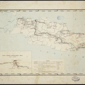
The railways and tramways of Java and Madoera (Madura) are shown over two sheets of this late 19th century map, including lines in use, under construction, and being planned. An inset map shows details of a line near Batavia (Jakarta).

Geologische übersichts- und vulkan-karte von Java und Madura

event1898

location_onIndonesia

Geological map of Java and Madura, showing rock types and the locations of volcanoes. There are two cross sections (elevations) showing the heights of terrain: one of Java; and one from Cambodia to the Indian Ocean, including Borneo and Java.

Handelskaart van Java en Madoera

event1898

location_onIndonesia

Map of Java and Madura showing routes, especially for trading purposes, including railways, tramways, roads, ports for steamship services, harbours for different types of imports and exports. A list of train and tram routes is included.

close