Search

Search Results

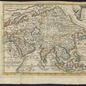
L'Asie Dressée Selon les Observations de Mrs. De l' Academie Royale des Sciences

event1749

location_onBrunei, Cambodia, East Timor, Indonesia, Laos, Malaysia, Myanmar, Singapore, Philippines, Southeast Asia, Thailand, Vietnam

Map of Asia based on observations of members of the French Academy of Sciences. Its decorative cartouche features a drawing of a censer (incense burner).

L'Asie, selon les nouvelles observations de Messrs. de l'Academie des Sciences

event1713

location_onBrunei, Cambodia, East Timor, Indonesia, Laos, Malaysia, Myanmar, Philippines, Singapore, Southeast Asia, Thailand, Vietnam

This early 18th century map of Asia features a drawing of a woman burning offerings on an altar, while two children carry cornucopias, and a camel looks on. The Roman god Mercury descends from the sky in the background wearing his winged helmet.

India orientalis

event1658

location_onBrunei, Cambodia, East Timor, Indonesia, Laos, Malaysia, Myanmar, Philippines, Singapore, Thailand, Southeast Asia, Vietnam

This mid-17th century map features three long rivers flowing south through mainland Southeast Asia. Their source is a lake named ‘Chiamai Lacus’, which was one of a number of mythical lakes once thought to exist in southern China.

Asia: ex magna orbis terre descriptione Gerardi Mercatoris desumpta, studio & industria G.M. Iunioris

event1630

location_onBrunei, Cambodia, East Timor, Indonesia, Laos, Malaysia, Myanmar, Philippines, Singapore, Southeast Asia, Thailand, Vietnam

Originally published in Gerardus Mercator's ‘Atlas Sive Cosmographicae Meditationes de Fabrica Mundi et Fabricati Figura’ (1595), the title of which was the first use of the word ‘atlas’ to refer to a collection of maps. This is a 1630 reprint.

Descripcion de las Indias del Poniente

event1623

location_onBrunei, Cambodia, Indonesia, Philippines, Malaysia, Singapore, Thailand, Vietnam

The many inaccuracies and omissions on this early map of Southeast Asia show the limitations of geographical knowledge at the time. There are some interesting details though, such as a legend listing the small islands in the Moluccas and Philippines.

Asia: ex magna orbis terre descriptione Gerardi Mercatoris desumpta, studio et industria G.M. Iunioris

eventc.1613-1630

location_onBrunei, Cambodia, East Timor, Indonesia, Laos, Malaysia, Myanmar, Philippines, Singapore, Southeast Asia, Thailand, Vietnam

Although quite detailed for an early 17th century map of Asia, there are some inaccuracies in the representation of the islands of Southeast Asia, particularly Java (labelled 'Iaua maior'), Borneo (Burne), Sulawesi (Celebes) and the Maluku Islands.

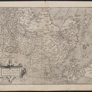
Asiae nova descriptio

event1612

location_onBrunei, Cambodia, East Timor, Indonesia, Laos, Malaysia, Myanmar, Philippines, Singapore, Southeast Asia, Thailand, Vietnam

This early 17th century map features a number of mythical lakes that were once thought to exist in southern China—including ‘Cayamay Lacus’—and which feed several rivers that flow south through mainland Southeast Asia.

Asia: ex magna orbis terre descriptione Gerardi Mercatoris desumpta, studio et industria G.M. Iunioris

eventc.1609-1619

location_onBrunei, Cambodia, East Timor, Indonesia, Laos, Malaysia, Myanmar, Philippines, Singapore, Southeast Asia, Thailand, Vietnam

Although quite detailed for an early 17th century map of Asia, there are some inaccuracies in the representation of the islands of Southeast Asia, particularly Java (labelled 'Iaua maior'), Borneo (Burne), Sulawesi (Celebes) and the Maluku Islands.

Asiae nova descriptio

event1602

location_onBrunei, Cambodia, East Timor, Indonesia, Laos, Malaysia, Myanmar, Philippines, Singapore, Southeast Asia, Thailand, Vietnam

This early 17th century map by Jodocus Hondius features a number of mythical lakes that were once thought to exist in southern China—including ‘Cayamay Lacus’—and which feed several rivers that flow south through mainland Southeast Asia.

India orient

event1601

location_onBrunei, Cambodia, Indonesia, Laos, Malaysia, Myanmar, Philippines, Singapore, Southeast Asia, Thailand, Vietnam

Early 17th century map of Asia, with annotations in Latin naming the major countries, islands and cities. Maritime Southeast Asia is shown as an archipelago of many small islands. Latin text on the reverse describes the region.

close