Search

Search Results

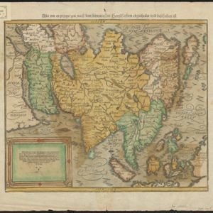
Asia wie es jetziger zeit nach den fuernemesten Herrschafften abgetheilet und beschriben ist

event1600

location_onBrunei, Cambodia, East Timor, Indonesia, Laos, Malaysia, Myanmar, Philippines, Singapore, Southeast Asia, Thailand, Vietnam

Early map of Asia featuring a number of mythical lakes that were once thought to exist in southern China, and which feed several rivers that flow south through mainland Southeast Asia. Text describes the world divided into four or five regions.

India Orientalis: cuius nobilior pars sunt duo ista quasi ingentia totius Asiæ promontoria in Oceanum versus Meridiem projecta, cum suis insulis

event1600

location_onBrunei, Cambodia, East Timor, Laos, Malaysia, Myanmar, Philippines, Singapore, Southeast Asia, Thailand, Vietnam

The island of Java was initially labelled on this map as ‘Iaua Minor’ (Java Minor), but this was altered to ‘Iaua Maior’ (Java Major), reflecting the common confusion over the names at the time. Sumatra and Borneo were both similarly mis-labelled.

India orien

event1600

location_onBrunei, Cambodia, East Timor, Indonesia, Laos, Malaysia, Myanmar, Philippines, Singapore, Southeast Asia, Thailand, Vietnam

Early 17th century map of Asia, with annotations in Latin naming the major countries, islands and cities. Maritime Southeast Asia is shown as an archipelago of many small islands. French text on the reverse describes crops and animals of the region.

Descriptio hydrographica accommodata ad battavorum navagatione in Javam insulam Indiæ Orientalis

eventc.1599-1628

location_onBrunei, Cambodia, East Timor, Indonesia, Laos, Malaysia, Myanmar, Philippines, Singapore, Southeast Asia, Thailand, Vietnam

This map shows the route of the first Dutch expedition to Southeast Asia in 1595-7. Led by Cornelis de Houtman, it was an attempt to enter the spice trade. The route crosses east over the Indian Ocean, circles the island of Java, and returns west.

Insvlae Molvccae

event1598

location_onBrunei, Cambodia, East Timor, Indonesia, Laos, Malaysia, Papua New Guinea, Philippines, Singapore, Southeast Asia, Thailand, Vietnam

A map featuring drawings of plants used to make spices in the Moluccas or Spice Islands: Nux Myristica (nutmeg), Cariophilorum arbor (cloves), Santalum flavum (yellow sandalwood), Santalum rubrum (red sandalwood), Santalum album (Indian sandalwood).

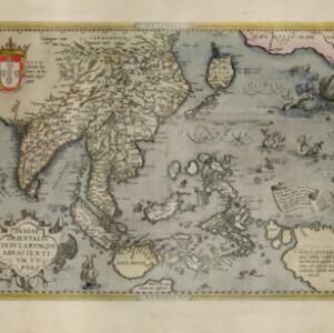
Indiae Orientalis insularumque adiacientium typus

event1598

location_onBrunei, Cambodia, East Timor, Indonesia, Laos, Malaysia, Myanmar, Philippines, Singapore, Southeast Asia, Thailand, Vietnam

A white banner at the right features text that notes that the ‘Insule Molucce’ (Maluku Islands) are famous for their abundance of spices, which are sold across the world. There are also Illustrations of mermaids and sea monsters wrecking a ship.

Asia

event1598

location_onBrunei, Cambodia, East Timor, Indonesia, Laos, Malaysia, Myanmar, Philippines, Singapore, Southeast Asia, Thailand, Vietnam

This late 16th century map features a 'wind-head', a decorative feature consisting of a drawing of the head of a human blowing to indicate wind.

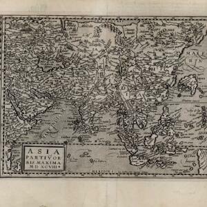
Asia partiṽ̃ orbis maxima MDXCVIII

event1598

location_onBrunei, Cambodia, East Timor, Indonesia, Laos, Malaysia, Myanmar, Philippines, Singapore, Southeast Asia, Thailand, Vietnam

The title of this late 16th century map of Asia translates from Latin as 'Asia the largest part of the world'. There is German text on the back of the map giving a description of Asia.

India orientalis

eventc.1597-1617

location_onBrunei, Cambodia, East Timor, Indonesia, Laos, Malaysia, Myanmar, Philippines, Singapore, Southeast Asia, Thailand, Vietnam

Latin text written on New Guinea explains that it is uncertain whether it is an island or part of ‘Australis’ (‘southern land’) a name that was used for a continent thought to exist in the region (and after which Australia was eventually named).

Indiae Orientalis insularumque adiacientium typus

eventc.1595-1601

location_onBrunei, Cambodia, East Timor, Indonesia, Laos, Malaysia, Myanmar, Philippines, Singapore, Southeast Asia, Thailand, Vietnam

A white banner at the right features text that notes that the ‘Insule Molucce’ (Maluku Islands) are famous for their abundance of spices, which are sold across the world. There are also Illustrations of mermaids and sea monsters wrecking a ship.

Indiae Orientalis insularumque adiacientium typus

eventc.1591-1592

location_onBrunei, Cambodia, East Timor, Indonesia, Laos, Malaysia, Myanmar, Philippines, Singapore, Southeast Asia, Thailand, Vietnam

A banner at the right features text that notes that the ‘Insule Molucce’ (Maluku Islands) are famous for their abundance of spices, which are sold across the world. There are also Illustrations of mermaids and sea monsters wrecking a ship.

close