Search

Search Results

Philippine Islands

event1899

location_onPhilippines

Mountains and rivers are the main land features on this map of the Philippines. Steamship routes from Hong Kong, Singapore and New York arrive at Manila. An inset map of Manila Province shows locations of the Philippine–American War (1899–1902).

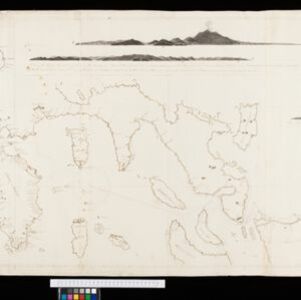
An Spherical Chart of a part of the Archipelago of the Phillipine Islands

event1804

location_onPhilippines

A hand-drawn map designed to aid navigation around the southern coast of Luzon and the islands of the central Philippines. It features side views of coastal hills and mountains (‘elevations’) to use as landmarks, as well as towns, shoals and reefs.

close

  • Filter from 1804 to 1899

Current results range from 1804 to 1899