Search
Refine your results
Location
- check_box_outline_blankLucon2
- check_box_outline_blankLuzon2
- check_box[remove]Mindanao2
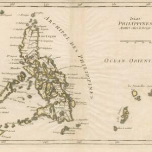
- check_box_outline_blankArchipel des Philippines1
- check_box_outline_blankBorneo1
- check_box_outline_blankInsulae Philippinae1
- check_box_outline_blankIsles Philippines1
- check_box_outline_blankManila1
- check_box_outline_blankMindor1
- check_box_outline_blankMindoro1
- check_box_outline_blankOcean Oriental1
- check_box_outline_blankPasig Fluvius1
- more Detailed Location »


