Search

Search Results

Route chart to India and the East

event1895

location_onBrunei, Cambodia, East Timor, Indonesia, Laos, Malaysia, Myanmar, Philippines, Singapore, Southeast Asia, Thailand, Vietnam

Map of Asia featuring steamship routes—including around Southeast Asia—connecting ports such as Penang, Singapore, Batavia (Jakarta), Saigon, Bangkok, Rangun (Yangon), Manila, Macassar (Makassar) etc. There is also an inset map of Singapore.

Nederlandsch Oost-Indië

event1865

location_onBrunei, Cambodia, East Timor, Indonesia, Laos, Malaysia, Myanmar, Vietnam, Thailand, Southeast Asia, Singapore, Philippines, Papua New Guinea

This detailed map of the Dutch East Indies in the mid-19th century contains a great deal of information: topographical details, settlements and administrative areas, roads, railways and maritime routes, telegraph lines, inset maps etc.

Malay Archipelago, or East India Islands

event1851

location_onBrunei, Cambodia, East Timor, Indonesia, Laos, Malaysia, Myanmar, Papua New Guinea, Philippines, Singapore, Southeast Asia, Thailand, Vietnam

This mid-19th century map of Southeast Asia is illustrated with drawings of indigenous people from New Guinea, a ‘bee bear’ (probably a sun bear), a sailboat in front of Victoria Mount in New Guinea, and a village and palm trees in Sarawak, Borneo.

Physical chart of the Indian Ocean: shewing the temperature of the water, the currents of the air and ocean, directions of the wind, districts of hurricanes, regions of the monsoons & ty-foons, trade routes &c&c.

event1849

location_onBrunei, Cambodia, East Timor, Indonesia, Laos, Malaysia, Myanmar, Papua New Guinea, Philippines, Singapore, Southeast Asia, Thailand, Vietnam

Chart of the Indian Ocean, showing climate and weather-related data, including around the seas and straits of Southeast Asia where trade routes are marked, along with monsoon and typhoon regions, and currents during the different monsoon seasons.

A chart of the Indian and Pacific Oceans with particular plans of the harbours

event1847

location_onBrunei, Cambodia, East Timor, Indonesia, Laos, Malaysia, Myanmar, Papua New Guinea, Philippines, Southeast Asia, Singapore, Thailand, Vietnam

Southeast Asia is shown on sheets two and three of this 12-sheet map of the Indian and Pacific oceans, including detailed inset maps of the straits of Singapore, Bangka, Gaspar and Sunda, with bathymetry (sea depth), shoals, reefs, anchorages etc.

Map of Asia

event1840

location_onBrunei, Cambodia, East Timor, Indonesia, Laos, Malaysia, Myanmar, Papua New Guinea, Philippines, Singapore, Southeast Asia, Thailand, Vietnam

On this mid-19th century map of Asia, national and regional borders are colour-coded, including colonial possessions such at the British Straits Settlements. Coastal cities, islands, shoals and reefs are marked in detail.

Asia

event1810

location_onBrunei, Cambodia, East Timor, Indonesia, Laos, Malaysia, Myanmar, Philippines, Singapore, Southeast Asia, Thailand, Vietnam

An early 19th century map of Asia by the English cartographer John Cary (c.1754–1835) with colour-coded regions.

Asia: drawn from the latest astronomical observations

event1798

location_onBrunei, Cambodia, East Timor, Indonesia, Laos, Malaysia, Myanmar, Papua New Guinea, Philippines, Singapore, Southeast Asia, Thailand, Vietnam

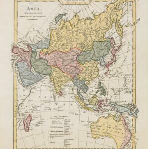
This late 18th century map of Asia uses colour to differentiate various regions, with mainland Southeast Asia in blue, and maritime Southeast Asia in yellow, red, green and blue.

Asia, according to the best Authorities

event1795

location_onBrunei, Cambodia, East Timor, Indonesia, Laos, Malaysia, Myanmar, Philippines, Singapore, Southeast Asia, Thailand, Vietnam

A late 18th century map of Asia with regions divided by colour-coded borders, and detailing rivers, mountains, reefs and shoals.

Bowles's new one-sheet map of Asia, divided into its empires, kingdoms, states, and other subdivisions

event1795

location_onBrunei, Cambodia, East Timor, Indonesia, Laos, Malaysia, Myanmar, Papua New Guinea, Philippines, Singapore, Southeast Asia, Thailand, Vietnam

A late 18th century map of Asia published in London by John Bowles, with regions indicated by colour. Central Borneo is labelled ‘Part inhabited by the Biayos’, which is seen on many contemporary maps, often with the comment ‘a savage people’.

Asia / engraved for Walkers Geography &c.

event1792

location_onBrunei, Cambodia, East Timor, Indonesia, Laos, Malaysia, Myanmar, Papua New Guinea, Philippines, Singapore, Southeast Asia, Thailand, Vietnam

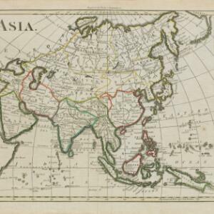
Hand-drawn coloured borders have been added to this map to distinguish various regions: mainland Southeast Asia and most of the islands of maritime Southeast Asia are bordered in green, with Borneo and the Philippines in red.

A general chart of the Atlantic and Indian oceans, with the situation & plan of Pulo Peenang or Price of Wales's Island / Plan of the Strait within Poolo Pinang

event1788

location_onMalaysia, East Timor, Indonesia, Papua New Guinea, Singapore

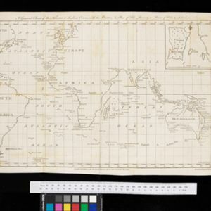
Two maps. One features most of the world, but with Borneo, Philippines and most of mainland Southeast Asia missing, though there is an inset map of Penang. The other is a navigation map of the strait at Penang, with bathymetry and elevations.

close