Search

Search Results

Oostkust Sumatra: Blad VII

event1896

location_onIndonesia

Navigation map of the waters around the islands of Bengkalis, Pedang and Tebingtinggi, off the east coast of Sumatra. Bathymetry (sea depth), tide data, reefs, shoals and other obstructions (clay, mud, shells, sand) are marked.

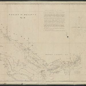
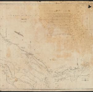
Strait of Malacca: Sheet II

event1823

location_onMalaysia, Singapore, Indonesia

This map of the Straits of Malacca features shoals and reefs, bathymetry (sea depth), drawings of side views of landmark mountains (elevations) and written observations, all designed to aid navigation. Pencil marks indicate the map was actually used.

Strait of Malacca: Sheet II

event1823

location_onMalaysia, Singapore, Indonesia

This map of the Straits of Malacca features shoals and reefs, bathymetry (sea depth), drawings of side views of landmark mountains (elevations) and written observations, all designed to aid navigation.

close

  • Filter from 1823 to 1896

Current results range from 1823 to 1896