Search Results
3 Results found

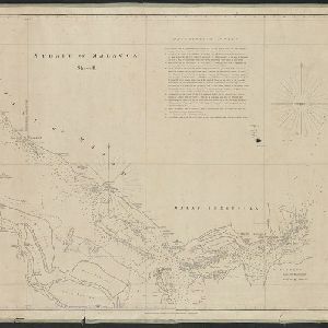
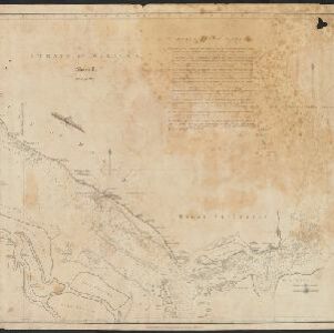
Strait of Malacca: Sheet II
1823
Malaysia, Singapore, Indonesia
This map of the Straits of Malacca features shoals and reefs, bathymetry (sea depth), drawings of side views of landmark mountains (elevations) and written observations, all designed to aid navigation. Pencil marks indicate the map was actually used.


