Search

Search Results

[Map of the East Indies]

event1666

location_onVietnam, Myanmar, Papua New Guinea, Philippines, Singapore, Southeast Asia, Thailand, Malaysia, Laos, Indonesia, East Timor, Cambodia, Brunei

This mid-17th century map of Southeast Asia has a maritime focus, with shoals and reefs, and the coastal areas marked in great detail, while the interiors remain mostly blank. The Great Wall of China can be seen at the top of the map.

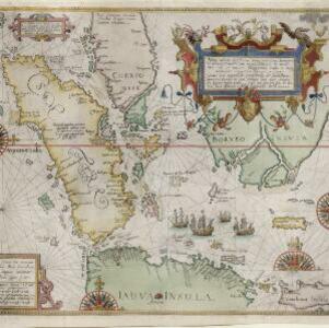
Nova tabula insularum Iavae, Sumatrae, Borneonis et aliarum Mallaccam usquae

event1601

location_onMalaysia, Indonesia, Singapore

Adapted by Theodore de Bry from an original by Willem Lodewycksz, this map has some inaccuracies e.g. the Malay Peninsula (‘Chersonese’) is completely bisected by the Muar River, leaving the southern tip of the peninsula as a separate island.

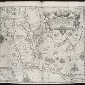
Nova tabula insularum Iavae, Sumatrae, Borneonis et aliarum Mallaccam usquae

event1598

location_onMalaysia, Indonesia, Singapore

Adapted by Theodore de Bry from an original by Willem Lodewycksz, this map has some inaccuracies e.g. the Malay Peninsula (‘Chersonese’) is completely bisected by the Muar River, leaving the southern tip of the peninsula as a separate island.

close

  • Filter from 1598 to 1666

Current results range from 1598 to 1666