Search Results

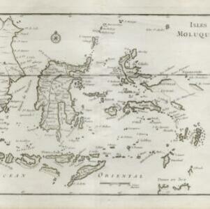
Kaart van het Midden-en Zuidelyk Gedeelte van den Molukschen Archipel
1854
Indonesia, East Timor
Map of some of the Maluku islands around the Banda Sea, colour-coded by their administrative region, and with an elevation showing heights of mountains. (From ‘Algemeene Atlas van Nederlandsche Indie [General Atlas of the Dutch East Indies]’.)

Zoological Geography: Sheet No. 1
1849
Brunei, Cambodia, East Timor, Indonesia, Laos, Malaysia, Myanmar, Papua New Guinea, Philippines, Singapore, Southeast Asia, Thailand, Vietnam
Five maps showing the distribution of animal species, including in Southeast Asia, covering primates, marsupials, pachyderms and Edentata. Lines show the geographical range of individual species, alongside illustrations of the animals featured.

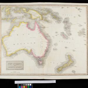
New Holland and Asiatic Isles
1829
Indonesia, East Timor, Papua New Guinea
Includes part of maritime Southeast Asia. New Guinea is labelled as ‘discovered in 1527’—a reference to the Portuguese explorer Jorge de Menezes—with additional labels describing the terrain (‘Very low land’, ‘Coast is not well known’, ‘An Opening’).

New Holland and Asiatic Isles
1814
Indonesia, East Timor, Papua New Guinea
Includes part of maritime Southeast Asia. New Guinea is labelled as ‘discovered in 1527’—a reference to the Portuguese explorer Jorge de Menezes—with additional labels describing the terrain (‘Very low land’, ‘Coast is not well known’, ‘An Opening’).

A map of Java, Borneo and the islands to the eastward of them as far as Nova Guinea
1744
Indonesia, East Timor
A simple mid-18th century map featuring Borneo, Java, Celebes (Sulawasi) and many other smaller islands as far as New Guinea to the east, and Timor to the south. The only details are the names of the islands and some larger settlements.

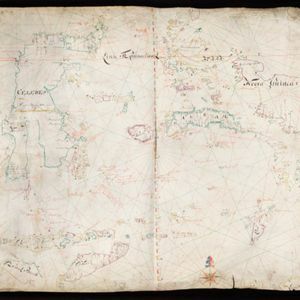
[Dutch portolan chart of the eastern Dutch East Indies]
1700
Indonesia, East Timor
This colourful hand-drawn portolan (nautical) chart was designed to aid navigation. It features a rhumbline network (the web of interconnected lines), bathymetry (sea depth), shoals and reefs, anchor points and written notes.

Insulæ Indiæ orientalis
1690
Brunei, Cambodia, East Timor, Indonesia, Laos, Malaysia, Myanmar, Philippines, Singapore, Southeast Asia, Thailand, Vietnam
The southern coast of Java ('Iava Maior') on this map is represented by a dotted line, indicating that the exact coastline was unknown at this time. Italian text on the reverse describes the Maluku Islands including Ambon, Banda and Ternate.

The Molucca Ilands &c.
c.1680-1700
East Timor, Indonesia, Philippines
From Robert Morden’s ‘Geography Rectified’, a description with maps of the known world in the late 17th century. The map shows the Moluccas, but the text describes the Philippines: Spanish colonial rule, trade, the city of Manila and port of Cavite.

Asiae nova descriptio
1653
Brunei, Cambodia, East Timor, Indonesia, Laos, Malaysia, Myanmar, Philippines, Southeast Asia, Singapore, Thailand, Vietnam
A mid-17th century map of Asia decorated with a border of drawings of Asian cities and Asian rulers, including the port of Bantam (Banten) at the western end of Java, and a portrait of ‘Rex Moluccae’ the ‘king’ of the Moluccas (Maluku Islands).
- [remove]East Timor29
- Indonesia29
- Philippines19
- Brunei18
- Cambodia18
- Laos18
- Malaysia18
- Singapore18
- Southeast Asia18
- Thailand18
- Vietnam18
- Myanmar17
- more Simple Location »


