Search Results

Asien
c.1820
Brunei, Cambodia, East Timor, Indonesia, Laos, Malaysia, Myanmar, Papua New Guinea, Philippines, Singapore, Southeast Asia, Thailand, Vietnam
On this map of Asia, India and mainland Southeast Asia are labelled together as ‘Ost Indien [East Indies]’. In maritime Southeast Asia, the Sunda Islands are coloured yellow, the Maluku Islands and New Guinea are blue, and the Philippines are red.

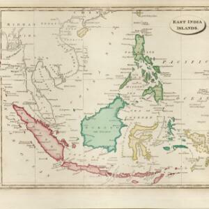
East India Isles
1817
Brunei, Cambodia, East Timor, Indonesia, Laos, Malaysia, Myanmar, Vietnam, Thailand, Southeast Asia, Singapore, Philippines
This early 19th century map was based on an earlier map by the English cartographer John Cary. It highlights the mountain ranges and rivers of Southeast Asia, and also features many place names of cities, towns and islands.

East India Islands
1817
Brunei, Cambodia, East Timor, Indonesia, Laos, Malaysia, Myanmar, Philippines, Singapore, Southeast Asia, Thailand, Vietnam
Although there is not much detail on this early 19th century map of Southeast Asia, in addition to place names, some rivers and ports are named, and there is even a ‘Dutch Factory’ on the west coast of Malaya.

A Map Illustrative of the Baptist Missionary Stations
1815
Brunei, Cambodia, East Timor, Indonesia, Laos, Malaysia, Myanmar, Philippines, Singapore, Southeast Asia, Thailand, Vietnam
This map marks the locations of Baptist missionary stations in Asia, including at Ava, Rangoon, Java and Amboyna (Ambon) in Southeast Asia. The station at Java also has a school. The map’s legend lists the stations’ dates of foundation.

East India Is.
1815
Brunei, Cambodia, East Timor, Indonesia, Laos, Malaysia, Myanmar, Philippines, Singapore, Thailand, Southeast Asia, Vietnam
Published by the English cartographer John Cary (c.1754–1835), this colourful map of Southeast Asia includes a label naming the inhabitants of central Borneo as 'BIAYOS or the inland People'.

New Holland and Asiatic Isles
1814
Indonesia, East Timor, Papua New Guinea
Includes part of maritime Southeast Asia. New Guinea is labelled as ‘discovered in 1527’—a reference to the Portuguese explorer Jorge de Menezes—with additional labels describing the terrain (‘Very low land’, ‘Coast is not well known’, ‘An Opening’).

East India islands
1810
Brunei, Cambodia, East Timor, Indonesia, Laos, Malaysia, Myanmar, Philippines, Singapore, Southeast Asia, Thailand, Vietnam
The islands of maritime Southeast Asia are highlighted in different colours on this early 19th century map. Major rivers, straits and seas are also named.

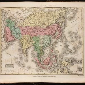
Asia. Engraved for Evans's Geographical Grammar
1809
Brunei, Cambodia, East Timor, Indonesia, Laos, Malaysia, Myanmar, Papua New Guinea, Philippines, Singapore, Southeast Asia, Thailand, Vietnam
This early 19th century map depicts the regions of Asia by colour. The continental regions are green, while the archipelago regions are red, except for New Guinea which is yellow.
- Filter from 1565 to 1900
- Latin141
- Dutch138
- French138
- English121
- German51
- Italian16
- Spanish2
- Portuguese1
- more Language »
- Indonesia553
- Malaysia485
- Brunei472
- East Timor472
- Singapore472
- Philippines467
- Thailand433
- Vietnam432
- Cambodia431
- Southeast Asia418
- Myanmar405
- Laos404
- more Simple Location »
- [remove]Sulawesi553
- Borneo495
- Sumatra483
- Java471
- Celebes470
- Malay Peninsula381
- Western New Guinea314
- Maluku Islands291
- Siam239
- Sunda Islands205
- Malacca189
- Pegu183
- more Detailed Location »


