Search Results

General-Karte von Mittleren Sumatra von Padang bis Singkel
1847
Indonesia
This map focuses on the mountain ranges along the west coast of central Sumatra. Military bases, post offices, villages, rivers and hot springs are also marked, and there are inset maps of the towns of Padang and Singkel (Singkil).

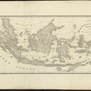
Carte générale des possessions néerlandaises aux Indes orientales
1846
Brunei, East Timor, Indonesia, Malaysia, Philippines, Singapore
Map of the Asian colonial possessions of the Netherlands (Dutch East Indies), with an inset of the heights of some of the region’s mountains. A note describes the average temperature, barometer reading and magnetic declination in Batavia at the time.

Hinter Indien
1845
Indonesia, Singapore, Malaysia, Thailand, Vietnam, Myanmar, Laos, Cambodia
A mid-19th century German map of mainland Southeast Asia showing a mixture of ancient kingdoms (e.g. Cochin-China), administrative districts (Malay States) and colonial possessions (Straits Settlements). Extensive mountainous areas are also featured.

Kaart van Nederlands Oostindische bezittingen
1843
Malaysia, Singapore, Indonesia, East Timor
Map of Dutch colonial possessions in maritime Southeast Asia, labelled with the names of administrative areas. Mountains are represented by hachures, short lines/dashes that give a sense of the shape and steepness of terrain.
- Filter from 1680 to 1900
- [remove]District/Administrative Border138
- Colonial Possessions43
- Regional Border16
- Civic/Metropolitan Border14
- National Border12


