Search Results

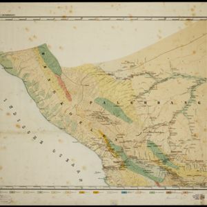
Topographische en geologische kaart van Zuid-Sumatra bevattende de residentien Bengkoelen, Palembang en Lampongsche Districten
1880
Indonesia
A topographical and geological map of southern Sumatra, over four sheets. Areas of igneous and sedimentary rock, coal, fossils, petroleum, active volcanoes and hot springs are marked, along with mountains, rivers and marshland, roads and settlements.

[Schetskaarten van versterkingen, loopgraven, stellingen, bentengs e.d. uit de Atjeh oorlog]
1880
Indonesia
Multiple maps from the Aceh War, spread over 12 sheets. Includes maps of fortifications, trenches, battle formations; building plans, including the Aceh Sultan’s palace; topographic maps; and drawings of a ‘kotta mara’ (fortified raft).

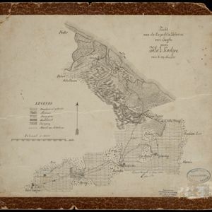
Tocht van de expeditie kolonne over Seglie naar Telok Kadjoe van 6-24 Mei 1878
1879
Indonesia
Map of a Dutch military expedition from Seglie (Sigli) on the northeast coast of Sumatra to Telok Kadjoe, during the Aceh War between Aceh and Dutch colonists. They land at Sigli and cross marshland, high grass, and rice and sugarcane fields.

A language map of Further India and the Indian Archipelago
1878
Southeast Asia, Brunei, East Timor, Indonesia, Malaysia, Philippines, Singapore, Thailand, Vietnam, Myanmar, Laos, Cambodia
A map of Southeast Asia coloured to indicate the five different language families spoken in the region in the late 19th century. Names of indigenous tribes/languages are marked in red text, with European colonial possessions in grey.

A language map of Further India and the Indian Archipelago
1878
Brunei, Cambodia, East Timor, Indonesia, Laos, Malaysia, Myanmar, Philippines, Singapore, Southeast Asia, Thailand, Vietnam
A map of Southeast Asia coloured to indicate the five different language families spoken in the region in the late 19th century. Names of indigenous tribes/languages are marked in red text, with European colonial possessions in grey.

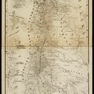
Schetskaart van het N.W. gedeelte der Residentie Sumatra's Oostkust
1877
Indonesia
Rivers and crops are the focus of this map of the northeast coast of Sumatra. Forests and wetlands are marked, as are alang-alang, coconut, pepper, nutmeg and tobacco. Roads are shown as suitable for infantry and light artillery, or for horse riding.

Schetskaart van de Reede van Analaboe en aangrenzende landstreek
1877
Indonesia
Hand-drawn map of the roadstead—a body of water sheltered from tides/currents, for ships to anchor—at Analaboe (Meulaboh) on the west coast of northern Sumatra. Bathymetry (sea depth), shoals and reefs, and an anchor point are marked.

Figuratieve kaart van Deli, Langkat en Serdang met aanteekening der uitgegeven kontrakten
1876
Indonesia
Map of three regions on the northeast coast of Sumatra, with each region divided into parcels of land which are labelled with the name of a company. Presumably, these companies have been issued the contracts mentioned in the map’s title.
- Filter from 1535 to 1900
- Dutch248
- French201
- Latin183
- English170
- German76
- Italian27
- Spanish2
- Portuguese1
- more Language »
- Indonesia839
- Malaysia670
- Singapore644
- Thailand591
- Brunei590
- Cambodia567
- Vietnam553
- Myanmar551
- Philippines543
- Laos525
- East Timor513
- Southeast Asia501
- more Simple Location »
- [remove]Sumatra843
- Borneo614
- Java600
- Malay Peninsula514
- Sulawesi483
- Celebes411
- Western New Guinea328
- Maluku Islands313
- Siam308
- Sunda Islands252
- Malacca241
- Pegu226
- more Detailed Location »


