Search Results

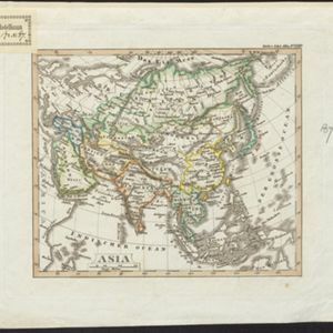
Physikalische Karte von Asien
1881
Brunei, Cambodia, East Timor, Indonesia, Laos, Malaysia, Myanmar, Philippines, Singapore, Southeast Asia, Thailand, Vietnam
Crops are marked on this map of Asia: Sumatra and Java have sugar, coffee, tea; the Lesser Sunda Islands and Maluku Islands have cinnamon, nutmeg and clove; mainland Southeast Asia has sugar and cotton. Arrows on the sea indicate currents.


