Search Results
279 Results found

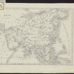
Stanford's Library Map of Asia
1899
Brunei, Cambodia, East Timor, Indonesia, Laos, Malaysia, Myanmar, Philippines, Singapore, Southeast Asia, Thailand, Vietnam
Southeast Asia is on sheet four of this map. British colonial territory—British Burma, the Straits Settlements, Sarawak, Brunei, British North Borneo—is highlighted in red, with Dutch, Spanish, French and Portuguese territory also shown.
- Filter from 1630 to 1900
- Indonesia279
- Malaysia256
- Singapore253
- Brunei250
- Cambodia233
- East Timor232
- Thailand231
- Vietnam228
- Philippines226
- Southeast Asia215
- Laos214
- Myanmar214
- more Simple Location »
- [remove]Sunda Islands279
- Sumatra252
- Java247
- Borneo243
- Sulawesi205
- Maluku Islands196
- Malay Peninsula186
- Celebes152
- Western New Guinea144
- Isles de la Sonde109
- Siam99
- Malacca79
- more Detailed Location »


