Search

Search Results

Kaart van den gemiddelden regenval op Java, tevens situatie-schets van de djati- en wildhoutbosschen

event1892

location_onIndonesia

This late 19th century map records the average rainfall at a variety of locations—marked with blue dots—on Java. Three types of forest are also shown: cultivated forest, wild forest under management, and wild forest not under management.

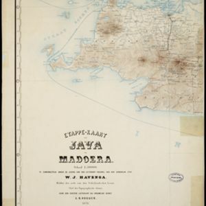
Etappe-kaart van Java en Madoera

event1878

location_onIndonesia

This detailed map of Java and Madura covers four sheets, showing natural features (mountains, lakes, rivers, bays), residential areas (cities, towns, villages) and routes (railways, roads, sea routes). An inset map shows telegraph lines and offices.

close

  • Filter from 1878 to 1892

Current results range from 1878 to 1892