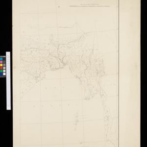
On this map of India, Burma (Myanmar) is divided into administrative regions. Borders with India and Siam are hand-coloured.
Upper Burma
event1895
location_onMyanmar, Thailand
Map of Upper Burma, showing the borders with Assam (India), China and Siam (Thailand), as well as internal administrative borders. Mountains with their heights, settlements, rivers and railways (completed, proposed and under construction) are shown.
India
event1895
location_onMyanmar, Thailand
Although this map focuses on India, it also includes Burma (Myanmar), showing the administrative districts that existed under British colonial rule in the late 19th century. Burma's national borders are orange (with India) and red (with Siam).
India
event1895
location_onMyanmar, Thailand
Although this map focuses on India, it also includes Burma (Myanmar), showing the administrative districts that existed under British colonial rule in the late 19th century.
India shewing railways
event1895
location_onMyanmar
This map of India and Burma (Myanmar) shows railways, and railways sanctioned or under construction. Other maps in this series show the same area in different years of the 1890s.