Search

Search Results

L'Asie

event1652

location_onBrunei, Cambodia, East Timor, Indonesia, Laos, Malaysia, Myanmar, Philippines, Singapore, Southeast Asia, Thailand, Vietnam

On this late 17th century map of Asia by the French cartographer Nicolas Sanson, mainland Southeast Asia is labelled ‘PresquIsle de la le Gange [Peninsula of the Ganges]’.

Partie de l'Inde au delà du Gange / Presqu'isle de l'Inde au delà du Gange

event1652

location_onCambodia, Indonesia, Laos, Malaysia, Myanmar, Singapore, Thailand, Vietnam

These two mid-17th century maps cover mainland Southeast Asia, divided into kingdoms by coloured borders. Settlements and rivers are named, with the larger settlements marked pictorially with a red building symbol.

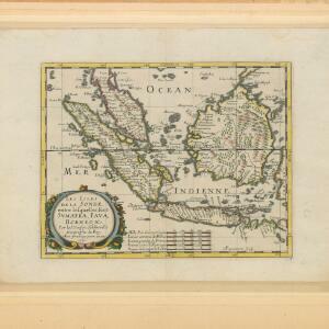
Les Isles de la Sonde: entre lesquelles sont Sumatra, Java, Borneo &c.

event1652

location_onBrunei, Indonesia, Malaysia, Singapore

This mid-17th century map of the Sunda Isles (‘Isles de la Sonde’) includes the Malay Peninsula in addition to Sumatra, Java and Borneo. Mountain ranges and jungles are shown pictorially, and the islands and coasts feature shoals and reefs.

close