Search

Search Results

East India Islands

event1817

location_onBrunei, Cambodia, East Timor, Indonesia, Laos, Malaysia, Myanmar, Philippines, Singapore, Southeast Asia, Thailand, Vietnam

Although there is not much detail on this early 19th century map of Southeast Asia, in addition to place names, some rivers and ports are named, and there is even a ‘Dutch Factory’ on the west coast of Malaya.

Asia

eventc.1815-1817

location_onBrunei, Cambodia, East Timor, Indonesia, Laos, Malaysia, Myanmar, Papua New Guinea, Philippines, Singapore, Southeast Asia, Thailand, Vietnam

An early 19th century map, with the regions of Southeast Asia marked with different colours. Interestingly, Cambodia and modern Vietnam (labelled here as Cochinchina and Tonkin) are grouped with China.

East India Is.

event1815

location_onBrunei, Cambodia, East Timor, Indonesia, Laos, Malaysia, Myanmar, Philippines, Singapore, Thailand, Southeast Asia, Vietnam

Published by the English cartographer John Cary (c.1754–1835), this colourful map of Southeast Asia includes a label naming the inhabitants of central Borneo as 'BIAYOS or the inland People'.

Asia

event1814

location_onBrunei, Cambodia, Indonesia, Laos, Malaysia, Myanmar, Philippines, Singapore, Southeast Asia, Thailand, Vietnam

An early 19th century map, with the regions of Southeast Asia marked with coloured borders: Malaya is red, indicating it is part of the British Empire; the orange borders around Sumatra, Borneo and Celebes show they are part of the Dutch East Indies.

Strait of Malacca: Sheet 1st

event1812

location_onMalaysia, Indonesia

This map of the Straits of Malacca features shoals and reefs, bathymetry (sea depth), drawings of side views of landmark mountains (elevations) and written observations, all designed to aid navigation.

Asia

event1810

location_onBrunei, Cambodia, East Timor, Indonesia, Laos, Malaysia, Myanmar, Philippines, Singapore, Southeast Asia, Thailand, Vietnam

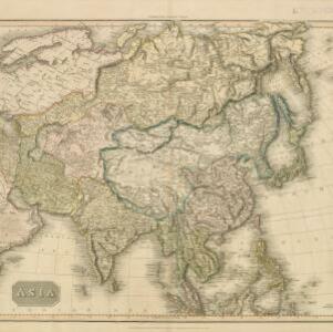
An early 19th century map of Asia by the English cartographer John Cary (c.1754–1835) with colour-coded regions.

East India islands

event1810

location_onBrunei, Cambodia, East Timor, Indonesia, Laos, Malaysia, Myanmar, Philippines, Singapore, Southeast Asia, Thailand, Vietnam

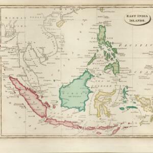
The islands of maritime Southeast Asia are highlighted in different colours on this early 19th century map. Major rivers, straits and seas are also named.

Inde

event1809

location_onCambodia, Indonesia, Laos, Malaysia, Myanmar, Singapore, Thailand, Vietnam

On this early 19th century map, mainland Southeast Asia is divided into regions. Major rivers are named, and the cartouche features a drawing of an elephant.

The Eastern Hemisphere

event1801

location_onMyanmar, Brunei, Cambodia, East Timor, Indonesia, Laos, Malaysia, Vietnam, Thailand, Southeast Asia, Singapore, Philippines

Published by the English cartographer John Cary (c.1754–1835), this map is marked with the routes taken from Europe to Asia by the British Royal Navy captains James Cook, John Gore, and George Vancouver, as well as the French explorer Lapérouse.

East Indies

eventc.1800-1899

location_onBrunei, Cambodia, East Timor, Indonesia, Laos, Malaysia, Myanmar, Philippines, Singapore, Southeast Asia, Thailand, Vietnam

Longitude is indicated in two different ways on this mid-18th century map: along the top border, it is shown in degrees (number of degrees east of London); more unusually, along the bottom border, it is shown in time (number of hours east of London).

Le Indie Orientali e il loro arcipelago

event1799

location_onVietnam, Myanmar, Malaysia, Philippines, Singapore, Southeast Asia, Thailand, Laos, Indonesia, East Timor, Cambodia, Brunei

A late 18th century map of Asia featuring rivers, mountains, reefs and shoals. Regions are colour-coded, with the borders of the kingdoms of mainland Southeast Asia in green, and the islands of maritime Southeast Asia in yellow and red.

Asia: drawn from the latest astronomical observations

event1798

location_onBrunei, Cambodia, East Timor, Indonesia, Laos, Malaysia, Myanmar, Papua New Guinea, Philippines, Singapore, Southeast Asia, Thailand, Vietnam

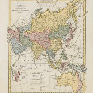
This late 18th century map of Asia uses colour to differentiate various regions, with mainland Southeast Asia in blue, and maritime Southeast Asia in yellow, red, green and blue.

close

  • Filter from 1478 to 1878

Current results range from 1478 to 1878