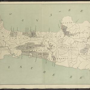
Kaart van Java: Waarop met arceeringen zyn aangeduid de streken waarop het einde van 1891 opnemingen op irrigatie gebied onderhanden warin / Waarop is aangegeven een ontwerp verdeeling in irrigatie afdeelingen
1893
Indonesia
Two maps about irrigation systems on Java. The first shows areas where systems are in place or being created, with their size. The second map shows Java divided into irrigation departments (both on trial and in operation).


