Search Results
365 Results found

Topographische kaart der residentie Batavia
c.1882-1883
Indonesia
The residency of Batavia, West Java, featuring plantations (coffee, tea, coconut, cinnamon, nutmeg, sugar); crops (rice, alang-alang, bamboo); fishing ponds; factories, warehouses, shops; routes, administrative borders; mountains, rivers, lakes.

Kaart van het terrein des oorlogs in Groot-Atjeh
1883
Indonesia
The Aceh War (1873–1904) between the Sultanate of Aceh and Dutch colonists is highlighted on this map of Groot-Atjeh in 1876. Flag symbols mark the locations of Dutch military posts, and some villages are described as ‘verbrande [burnt]’.

[Verzamelkaart van door uitbarsting en vloedgolf verwoeste gebieden]
1883
Indonesia
Nine maps of the effects of the 1883 Krakatoa volcanic eruption, including on Rakata Island itself, and Calmeyer Island (formed by the eruption). Other maps use brown shading to show the flooding of nearby islands and settlements by ensuing tsunamis.

Kaart van het terrein des oorlogs in Groot-Atjeh in 1876
1883
Indonesia
The Aceh War (1873–1904) between the Sultanate of Aceh and Dutch colonists is highlighted on this map of Groot-Atjeh in 1876. Flag symbols mark the locations of Dutch troops, while a red line records the route marched by ‘agitating troops’ in 1875-6.

Kaart van het terrein des Oorlogs in Groot-Atjeh in 1876
1883
Indonesia
The Aceh War (1873–1904) between the Sultanate of Aceh and Dutch colonists is highlighted on this map of Groot-Atjeh in 1876. Flag symbols mark the locations of Dutch troops, while a red line records the route marched by ‘agitating troops’ in 1875-6.

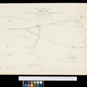
Sketch of works before Phu-sa, showing position of troops at 3 p.m. on the 14th Dec 1883, before the assault
1883
Vietnam
Map of Phu-Sa, a village to the northeast of the city of Sơn Tây (Vietnam), during the Tonkin campaign. It shows French troop positions (on the right, in red) before they attacked the defences of the China-backed Black Flag Army at Phu-Sa

Map of China, Tonquin and Cochin-China, with a chart extending from China to western Europe
1883
Cambodia, Laos, Thailand, Vietnam
Two maps, one of which features mainland Southeast Asia: Anam (Tonquin and Cochin China) in red, Lower Cochin China in green, Cambodia in yellow, and Siam in white. An inset map shows maritime routes between Europe and Asia.
- Filter from 1544 to 1900
- [remove]Kampong/Village365
- Residential Area128
- Military Fort97
- Cemetery/Columbarium77
- Post Office67
- Temple55
- Church52
- Hospital47
- Military Barracks45
- Mosque36
- Public Space33
- Palace27
- Jail/Prison26
- Police Station23
- more Settlement Features »


