Search Results
365 Results found

Itinéraire de Hanoi à That-khe par Lang-son (Frontière Chinoise du Kouang-Si)
1881
Vietnam
A late 19th century map depicting a route from Hanoi to That-Khe via Lang-Son (in northern Vietnam, near the border with China at Kouang-Si (Guangxi)). Two inset maps feature plans of military forts, villages, rivers and fields along the route.

Kaart van de Djelej- en Kotawaringin-rivieren
1881
Indonesia
Map of an expedition exploring two rivers and their tributaries in southern Borneo. Villages and farms are marked (in red for Malay people; in black for Dayak people). Red numbers show height above sea-level in meters; black numbers show latitude.

Topographische kaart de residentie Rembang
1881
Indonesia
Four-sheet topographic map of the residency of Rembang (Central Java) divided into regencies (pink borders) and districts (yellow borders). Crops—coconut, rice, coffee, bamboo, alang-alang, sugarcane—as well as salt pans and fishing ponds are shown.

Sketch map showing forest reserves (sanctioned and proposed) in the Pegu and Tenasserim Divisions of British Burma
1881
Myanmar
Map of forest reserves—sanctioned and proposed—on the west coast of British Burma (Myanmar). The map also shows rivers, including the Irrawaddy River, and the railway from Rangoon (Yangon) to Prome (Pyay).

Schetskaart van de Deli-ondernemingen in 1875
1880
Indonesia
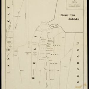
Map of Deli on the northeast coast of Sumatra, divided into parcels of land which are labelled—in capital letters—with the names of businesses. Place names are in lowercase. The coast, rivers and land parcels are rendered in simple straight lines.

[Schetskaarten van versterkingen, loopgraven, stellingen, bentengs e.d. uit de Atjeh oorlog]
1880
Indonesia
Multiple maps from the Aceh War, spread over 12 sheets. Includes maps of fortifications, trenches, battle formations; building plans, including the Aceh Sultan’s palace; topographic maps; and drawings of a ‘kotta mara’ (fortified raft).
- Filter from 1544 to 1900
- [remove]Kampong/Village365
- Residential Area128
- Military Fort97
- Cemetery/Columbarium77
- Post Office67
- Temple55
- Church52
- Hospital47
- Military Barracks45
- Mosque36
- Public Space33
- Palace27
- Jail/Prison26
- Police Station23
- more Settlement Features »


