Search Results

Map of the Island of Singapore and its dependencies
1898
Singapore
Map of Singapore Island, divided into Districts, including the surrounding islands and straits. The city centre, roads and forests are marked. MacRitchie Reservoir is at the centre of the island, with coconut plantations along the east coast.

Kaart van 't noordwestelijke gedeelte der Residentie Ambon
1898
Indonesia
Map of the residency of Ambon in the Maluku Islands, divided by colour-coded administrative borders. There are inset maps the Banda Islands—including the nutmeg plantations and the town of Neira with its fort and hospital—and of Dutch New Guinea.

Kaart van het gebied bezet in Groot-Atjeh, met de nederzettingen Lepoeng en Lehoeng
1897
Indonesia
A map of Groot-Atjeh, Lepoeng and Lehoeng, at the northern tip of Sumatra, detailing routes (rivers, roads, railways), crops (rice, banana, sugarcane, betel, pepper, alang-alang, bamboo) and land features (forests, mountains, wetlands).

Plan of the town and suburbs of Rangoon
c.1895-1897
Myanmar
Detailed plan of the city of Rangoon (Yangon, Myanmar) with commercial, religious, government and military buildings, surrounded by lakes, fields of crops and villages. Someone has drawn details on the map of areas that have undergone ‘levelling’.

Map of Johore Territory 1893
1893
Malaysia, Singapore
Map of the Malay state of Johor, and Singapore. The route of a proposed railway north from Johor Bahru is shown. Apart from rivers and mountains, much of the terrain is blank, with labels such as ‘Unexplored Hill Country’ or ‘Dense Jungle and Swamp’.

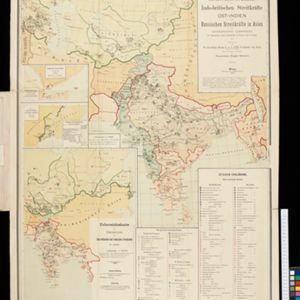
Dislocations-Karte der Indo-britischen Streitkräfte in Ost-Indien und der Russischen Streitkräfte in Asien
1892
Myanmar
Four maps showing the locations of British and Russian military units in Asia, including British and Indian (Madras Army) troops in Burma (Myanmar). Extensive legends identify individual regiments, battalions etc.

Kaart van een gedeelte van Borneo: met aanwijzing van de grens tusschen het Nederlandsch gebied en dat van het Britsche Protectoraat
1891
Indonesia, Malaysia
Map marking the border (in orange) agreed between British and Dutch territory on Borneo in 1891. Alternative borders are shown: according to the Dutch (blue), according to the British North Borneo Society (yellow) and proposed by the British (green).

Kaart der Bataklanden en van het eiland Nijas
1890
Indonesia
A large-scale map of northern Sumatra, spread over 16 sheets, and divided into administrative regions. The island of Nijas (Nias) is marked with the locations of local tribes, and there is a list of other maps referenced in producing the map.


