Search Results
793 Results found

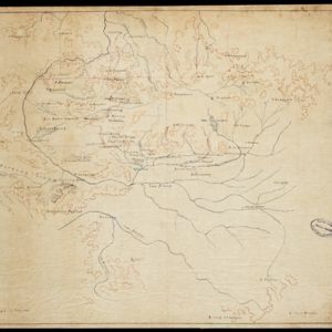
Kaart van het gebied bezet in Groot-Atjeh
1891
Indonesia
A map of Groot-Atjceh and the city of Kota Radja (modern Banda Aceh) at the northern tip of Sumatra, detailing routes (rivers, roads, railways), crops (rice, banana, sugarcane, betel, reed, alang-alang, bamboo) and land features (forests, wetlands).

Schetskaart van het terrein doorloopen bij de excursie in 1890 tegen de Battaksche landschappen Loemban-Pinasa en Djandji
1891
Indonesia
Map of an expedition route—in red—through the country of the Batak people of northern Sumatra, from Lake Toba to Loemban-Pinasa (Lumban Pinasa) and Djandji. Mountains and forests are shown, along with two drawings of views of hills.

Oudheidkundige Kaart van West en Midden Java
1891
Indonesia
This map of western and central Java uses red symbols to mark the locations of antiquarian sites, including tjandis (Hindu tombs), walls, terraces, fortifications, temples, wells, statues and cemeteries. Rivers, roads and railways are also shown.

Oudheidkundige kaart van Oost-Java tot aan de vorstenlanden
1891
Indonesia
This map of eastern Java uses red symbols to mark the locations of antiquarian sites, including tjandis (Hindu tombs), walls, terraces, fortifications, temples, wells, statues and cemeteries. Rivers, roads and railways are also shown.

Kaart van het middengedeelte van Sumatra
1890
Indonesia
Details of each area’s resources are printed on this map of Sumatra: rattan, coffee, pepper, Chinese cinnamon, tobacco, resins, camphor, cotton, coal, gold, lumber, elephants, horses, as well as the locals’ ethnicity (Malays, Javanese, Acehnese).

Midden-Flores (Terrein van actie der Noord-Flores-expeditie)
1890
Indonesia
Map of central Flores in the Lesser Sunda Islands, with extensive written notes describing the island, e.g. where the first Christians settled; the territories of local rulers; areas where Christians were replaced by Muslims; locations of tin mines.
- Indonesia718
- Malaysia364
- Singapore324
- Thailand315
- Brunei301
- Vietnam292
- Cambodia285
- Myanmar285
- Philippines283
- East Timor274
- Laos260
- Southeast Asia238
- more Simple Location »
- Port117
- Pier52
- Railway Station39
- River576
- Road224
- Path123
- Railway/Tramway88
- Postal Route62
- Canal57
- Bridge54
- Telegraph/Telephone24


