Search Results

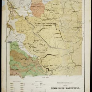
Geognostische kaart van het Oembilien kolenveld in de Padangsche bovenlanden, Sumatra's Westkust
1874
Indonesia
A geological map, spread over eight sheets, showing the types of rock and minerals found in the Oembilien coalfield, in the Padang Highlands on Sumatra’s west coast. There are also additional geological profiles.

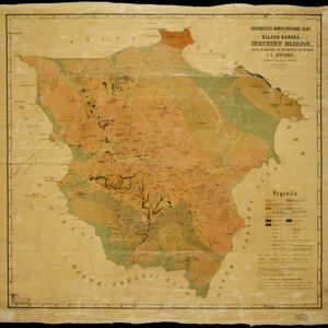
Geognostisch-mijnbouwkundige kaart van het eiland Bangka, distrikt Blinjoe
1872
Indonesia
A geological map showing the types of rock and minerals found in Blinjoe district on the island of Bangka, off the east coast of Sumatra. Deposits of iron, quartz and tin are marked, and coral is shown at the coast.

Kaart van de onderneming Pengging Bangat
1872
Indonesia
Map of an estate/plantation, with land/fields coloured to show their use/crop, and marked in red with their size. The map was made with information from village chiefs, whose villages are marked. A small painting depicts an aqueduct over a river.

Principal Dutch colonies in the Indian seas
1872
Brunei, Indonesia, Malaysia
Two maps of the Dutch East Indies, decorated with drawings of local people and animals. Dutch colonial territory and local sultanates and provinces are highlighted. The heights of Java’s mountains and settlements are displayed in an elevation view.
- Filter from 1623 to 1900
- Indonesia493
- Myanmar162
- Malaysia155
- Thailand140
- Singapore116
- Vietnam108
- Philippines95
- Cambodia93
- Brunei89
- Laos89
- East Timor83
- Southeast Asia73
- more Simple Location »
- Port99
- Railway Station52
- Pier37
- River492
- Road320
- Path199
- Railway/Tramway158
- Postal Route97
- Bridge61
- Telegraph/Telephone58
- Canal56


