Search Results

Kaart van Ternate, Halmaheira en Omringende Eilanden
1854
Indonesia
Map of Halmahera and other of the northern Maluku islands, colour-coded by their administrative region, with the seas and passages between them named. (From ‘Algemeene Atlas van Nederlandsche Indie [General Atlas of the Dutch East Indies]’.)

Kaart van het Midden-en Zuidelyk Gedeelte van den Molukschen Archipel
1854
Indonesia, East Timor
Map of some of the Maluku islands around the Banda Sea, colour-coded by their administrative region, and with an elevation showing heights of mountains. (From ‘Algemeene Atlas van Nederlandsche Indie [General Atlas of the Dutch East Indies]’.)

Algemeene kaart van Nederlandsch Oostindie
c.1839-1855
East Timor, Indonesia, Malaysia, Singapore
This map of the Dutch East Indies is spread over eight sheets, with a hand-drawn cover sheet showing the whole area. There are numerous inset maps of islands, bays, cities etc. Two of the inset maps have a replacement map pasted over them.

Carte des possessions et etablissemens du Roi des Pays-Bas aux Indes Orientales
1839
Brunei, East Timor, Indonesia, Malaysia, Singapore
Map of the Dutch East Indies featuring maritime routes from the Sunda Strait and Batavia (Jakarta) to the Maluku or Spice Islands (Ambon, Ternate etc.). There is an eastern route (taken from October to March) and a return route (December to March).

Carte particuliere des isles Moluques
1750
Indonesia
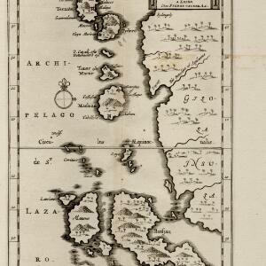
A map of a small island chain off the west coast of the island of Gilolo (modern Halmahera in the Maluku Islands of Indonesia). The military forts on the islands were used by the European colonial powers during conflicts over the area’s spice trade.

Les Îles Moluques, tres exactement representées selon les plus nouvelles Observations des meilleurs Geographes
c.1714-1729
Indonesia
A map of a small island chain off the west coast of the island of Gilola (modern Halmahera in the Maluku Islands of Indonesia). The military forts on the islands were used by the European colonial powers during conflicts over the area’s spice trade.

Insulæ Indiæ orientalis
1690
Brunei, Cambodia, East Timor, Indonesia, Laos, Malaysia, Myanmar, Philippines, Singapore, Southeast Asia, Thailand, Vietnam
The southern coast of Java ('Iava Maior') on this map is represented by a dotted line, indicating that the exact coastline was unknown at this time. Italian text on the reverse describes the Maluku Islands including Ambon, Banda and Ternate.
- [remove]Indonesia30
- East Timor16
- Malaysia14
- Singapore14
- Brunei12
- Cambodia10
- Laos10
- Philippines10
- Southeast Asia10
- Thailand10
- Vietnam10
- Myanmar9
- more Simple Location »
- [remove]Ternate30
- Maluku Islands28
- Halmahera21
- Borneo15
- Sumatra15
- Tidore15
- Java14
- Gilolo13
- Makian13
- Bacan12
- Moti11
- Western New Guinea11
- more Detailed Location »


